ID: 256
Longitude: -61.9086
Latitude: 56.2138
Translation: Kautatikumit River
Official Name: Konrad Brook
Feature: river
Explanation:
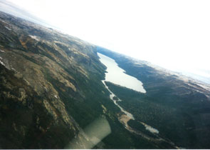
Named after an unidentified Settler who had a house at the mouth of the river. The Innu call him Kautatikumit meaning 'The One Who Has Caribou'. The place name applies only to the section of the river downstream from the connecting lake.
Named after an unidentified Settler who had a house at the mouth of the river. The Innu call him Kautatikumit meaning 'The One Who Has Caribou'. The place name applies only to the section of the river downstream from the connecting lake.


